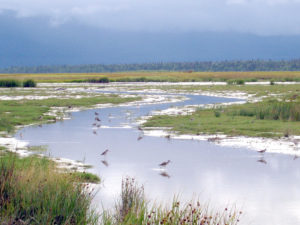
Yellowlegs and other shorebirds foraging in a tidal pool on Chickaloon Flats.
But how important? Sadie Ulman, before becoming a biologist at Arctic Refuge, did her graduate research on shorebird use of Chickaloon Flats in 2009-2010. The last part of her thesis, which addressed that question, was published recently in the journal Waterbirds. Sadie documented that 23 of 37 common shorebird species breeding in Alaska use Chickaloon Flats during migration. With peak daily shorebird population estimates of 23,000 in the spring and 95,000 in the fall, this stopover site hosts a lot of birds for short periods of time.
But Sadie took it another step, using stable isotope analysis of feathers to determine where six of those shorebird species spend their winter. Feathers maintain an isotopic signature of what was eaten during the relatively short period of feather growth. This allows individual shorebirds to be sampled during breeding to estimate the geographic origin of their feather growth during the previous nonbreeding season. A combination of values from three stable isotopes (d2H, d13C, and d15N) are used to infer feather molt origin on a broad geographic scale because predictable spatial patterns of d2H occur in precipitation on a continental scale, and d13C and d15N are then used to further distinguish if the feather was grown in a terrestrial versus marine environment.
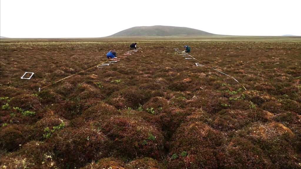
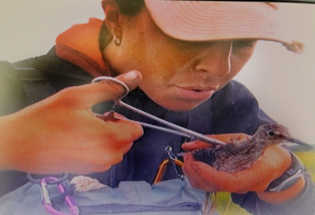
Sadie used drop nets and decoys to catch (and band) migrating shorebirds that stopped over on Chickaloon Flats, from which she pulled feathers. What did she find?
Greater Yellowlegs using Chickaloon Flats likely molted in southwest Alaska, and Short-billed Dowitchers in southcentral Alaska. Lesser Yellowlegs likely molted in western Alaska and a latitudinal band across Canada, and wintered throughout the Lower 48. Least Sandpipers wintered from Oregon and south in North America but showed an isotopically similar possibility in Ecuador, Colombia, and Venezuela. Long-billed Dowitchers molted primaries across the western U.S. and Canada. Pectoral Sandpipers using Chickaloon Flats likely molted near the Rio de La Plata in southeastern South America!
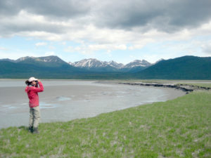 Sadie Ulman looking for shorebirds on the Chickaloon Flats.
Amazingly, this tidal wetland, hidden in plain sight from Anchorage (15 miles from Potters Marsh), has significant value as a stopover for many shorebird species breeding in Alaska. Belugas and brown bears also forage for silver salmon in the Chickaloon River and other parts of the estuary are used as haulouts by harbor seals.
The good news is that Chickaloon Flats is conserved within the Kenai Refuge. The bad news is that it’s not protected from natural disasters. During the 1964 Great Alaskan Earthquake, the entire estuary dropped in elevation and was inundated by mud. Even today, Chickaloon Flats really does tilt downward to the east and south. However, as Sadie showed in a 2019 article in Northwest Science, the marsh is slowly recovering.
Sadie Ulman looking for shorebirds on the Chickaloon Flats.
Amazingly, this tidal wetland, hidden in plain sight from Anchorage (15 miles from Potters Marsh), has significant value as a stopover for many shorebird species breeding in Alaska. Belugas and brown bears also forage for silver salmon in the Chickaloon River and other parts of the estuary are used as haulouts by harbor seals.
The good news is that Chickaloon Flats is conserved within the Kenai Refuge. The bad news is that it’s not protected from natural disasters. During the 1964 Great Alaskan Earthquake, the entire estuary dropped in elevation and was inundated by mud. Even today, Chickaloon Flats really does tilt downward to the east and south. However, as Sadie showed in a 2019 article in Northwest Science, the marsh is slowly recovering.