Presented by Todd Eskelin, Kenai National Wildlife Refuge Wildlife Biologist
Tuesday, March 17, 5 – 6 pm Alaska Daylight Time
- Soldotna – Todd Eskelin in person with reception to follow. Bring green treats for St. Patrick’s Day if you can. Kenai National Wildlife Refuge Visitor Center, Ski Hill Road.
- Anchorage – Watch Party at REI’s Community Room, 500 E. Northern Lights
- Homer – Watch Party at the Alaska Maritime National Wildlife Refuge Visitor Center, 95 Sterling Hwy.
- Zoom – Zoom link to be posted HERE
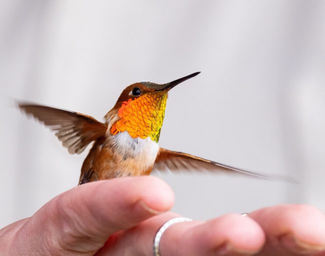
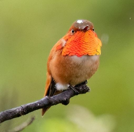 Rufous Hummingbirds are in trouble with their populations down 60% percent in the past 30 years. They are declining faster than any other western hummingbird. What is going on for this small bird, the northernmost of all hummingbirds?
Join us to hear from Todd Eskelin, a Kenai Refuge wildlife biologist and one of only 3 Alaskans permitted to band hummingbirds. Hear about how Todd and partners are taking their search for answers to the next level with radio transmitters on the birds to better understand migration risks.
Todd has been utilizing traditional banding methods since 2019 to track how many hummingbirds are returning to breeding grounds on the Kenai Peninsula. It is an incredible journey from wintering grounds in Mexico for tiny birds who cannot soar but must beat their wings for every mile. Rufous have the longest migration routes of any hummingbird species. By recapturing banded birds, researchers have learned that adults are making it back and a few are returning year after year. Why are adults making it back and eventually aging out, but juveniles are not stepping up and replacing them in the breeding pool?
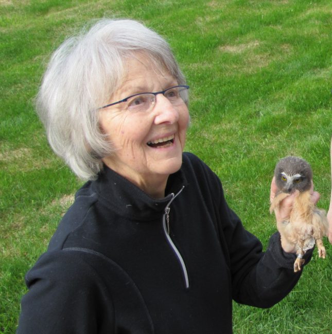
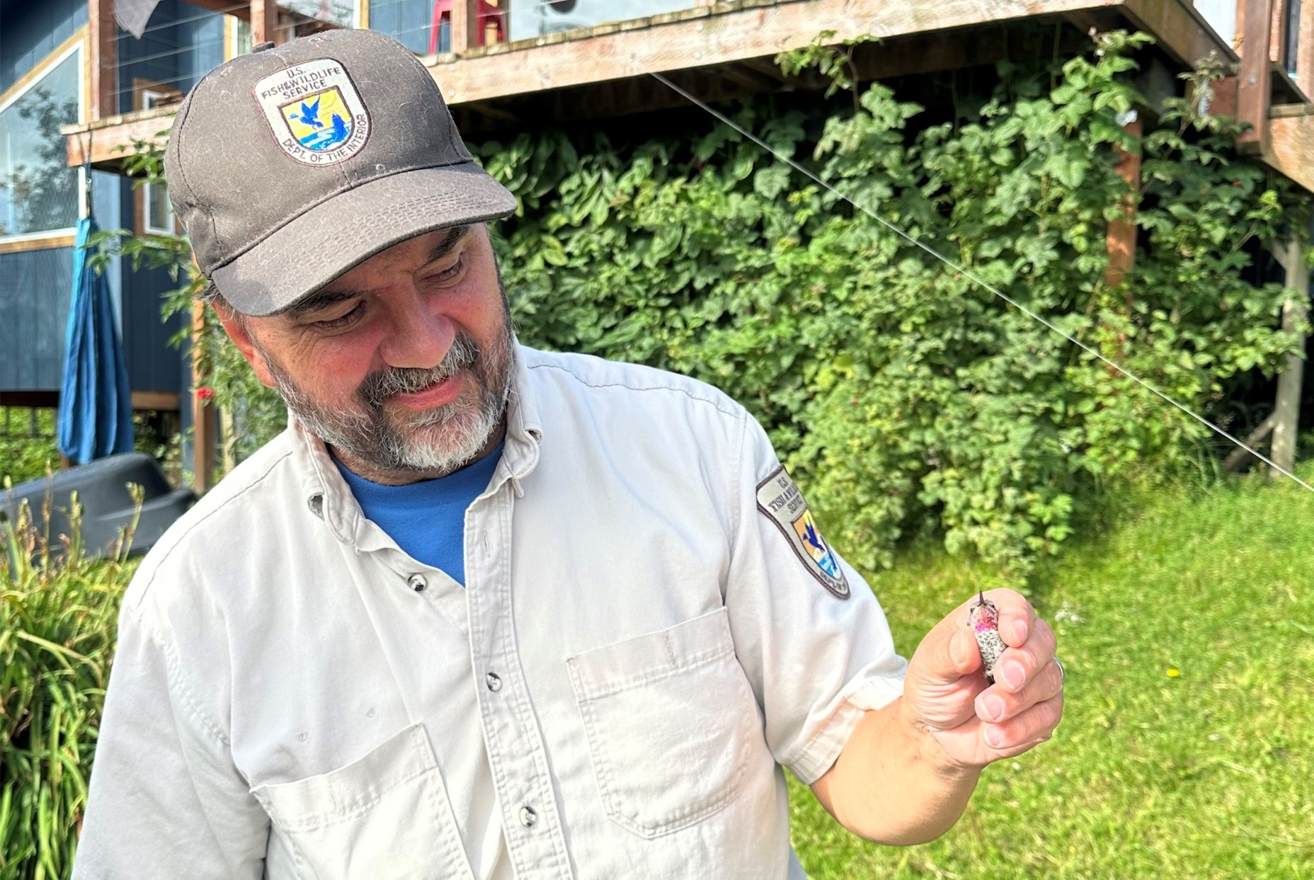
![]()
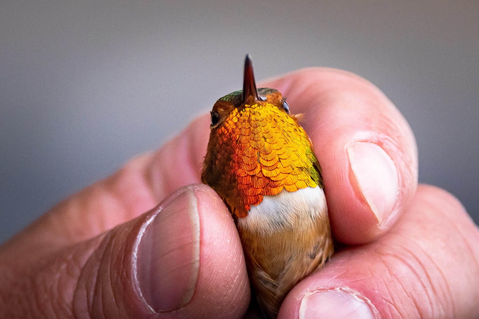
Rufous Hummingbird with transmitter at Alabama Banding station. PC Jasmine Meichner
Now Todd and partners from the Banding Coalition for the Americas and the Alaska Wildlife Conservation Center are ready to launch into the next phase by attaching tiny radio transmitters on Rufous and tracking their migration journey south. Todd hopes to find out what habitats are important to them and where the risks are during migration.
They hope to learn some of the important stops and the migration route between Point A on the Kenai Peninsula and the wintering grounds. Maybe it is Seedskadee National Wildlife Refuge in Wyoming or Browns Park Refuge in Colorado that will be a critical connection to the wintering grounds. Come learn how this new technology may be the key to unlocking the mystery of migration and how this can help conserve this important pollinator that has a life history spanning 3 countries. What will it take to save them and how can National Wildlife Refuges play a role in that?
Todd Eskelin with an Anna’s Hummingbird in Homer. This bird is not yet known to breed on the Kenai Peninsula.
Biography
Todd Eskelin may be the only person who has handled a hummingbird and a bald eagle in the same day, so ask him about it. Todd has traveled all over the state banding birds. In previous positions, he was the head bander at Alaska Bird Observatory, an eider observer from small planes all over western Alaska, and helped set up MAPS banding in Izembek, Alaska Peninsula and Becharof national wildlife refuges before getting a permanent job at the Kenai Refuge in 2001.
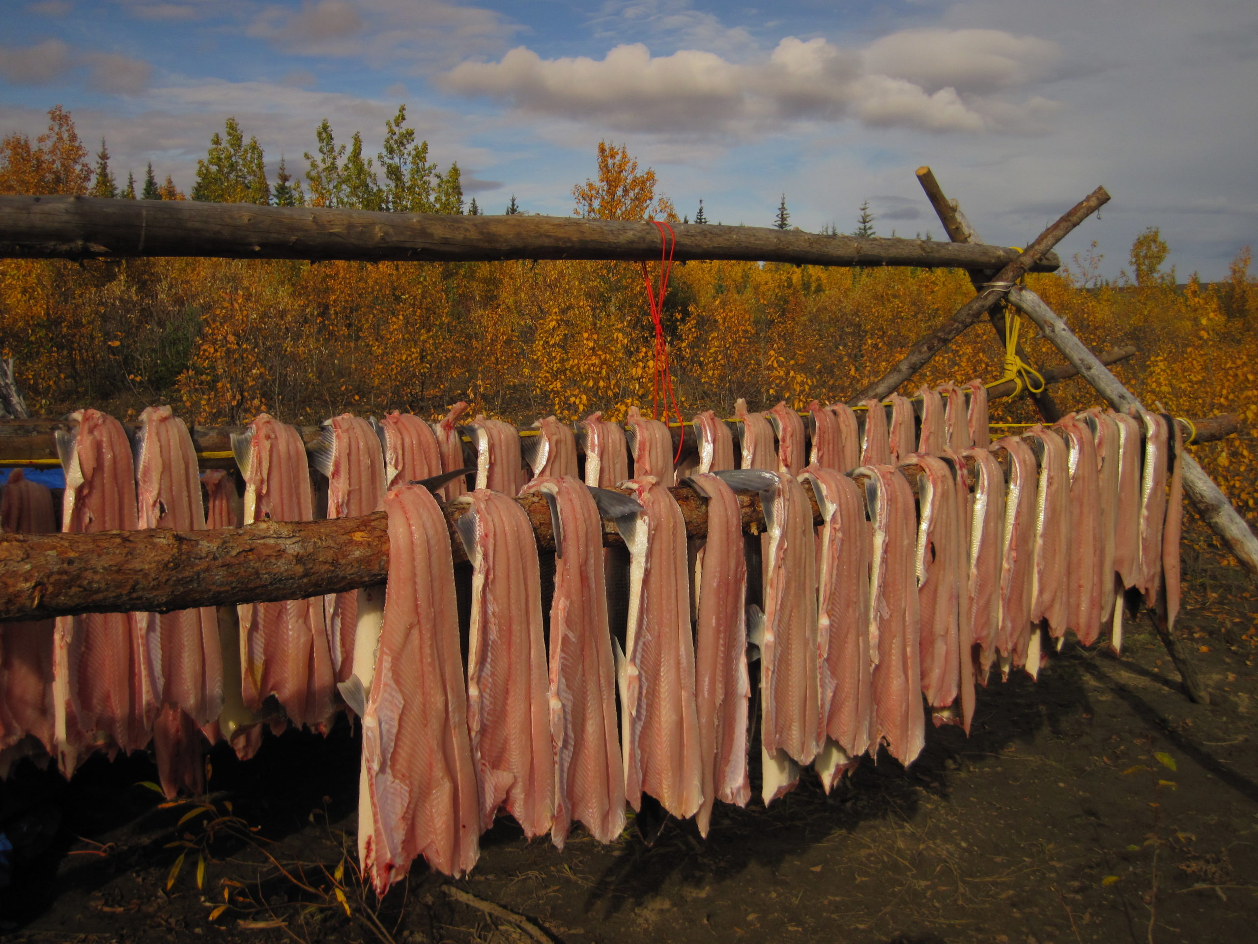
Todd was raised in Soldotna, went off to college at Lewis & Clark in Portland, Oregon but came back to Soldotna. Family, a chance to volunteer on a Kenai Refuge lynx study during college and love of the landscape drew him back. Todd says that the Kenai Refuge is one of those unique nexus points where multiple biomes and habitats collide and he finds that fascinating. Todd says “What’s not to love” about a refuge with a high diversity of species, breath taking beauty and a place to feed the family with moose and salmon.
It was Todd’s wife Leah Eskelin, visitor center manager at the Kenai Refuge, who convinced him that his work with hummingbirds would be interesting to people and got him into giving talks and banding demonstrations. “I’m not even a people person. I just want to do my research and band my birds on a quiet Sunday morning”. He may not think of himself as a people person, but Todd’s enthusiasm for hummingbirds will be infectious. Join us.